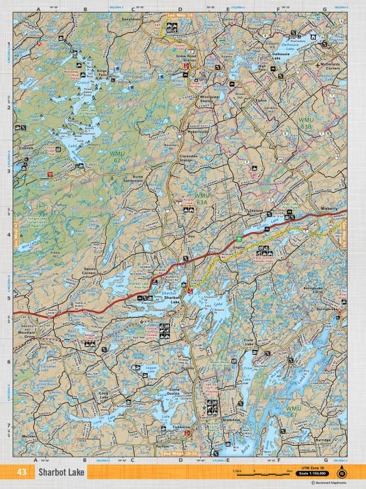
Released: 2019
Paper
Dimensions: 61 x 94 cm/24 x 37 inches
Maps: 1:50,000
Map Features: Highways, Logging Roads, Land & Water Features, Parks, Adventure Points of Interest, Campgrounds, Hiking Trails, Motorized Trails, Paddling Routes, Hunting & Fishing Areas, Winter Recreation and More.
Areas Covered: Sharbot Lake, Maberly, Zealand, Seouls Corners, Bolingbroke, Kings Falls