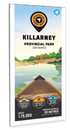
Killarney Provincial Park Map Ontario
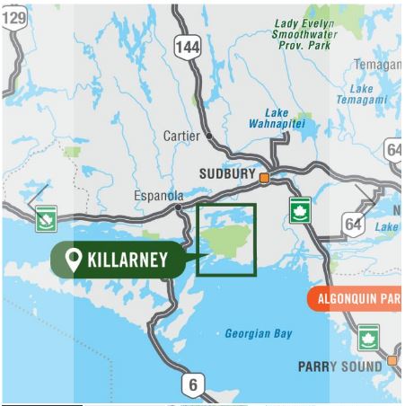
Covering Killarney Provincial Park in Northern Ontario, this map features the hiking trails, canoe routes, access points, campsites, lakes and visitor facilities. This Adventure map includes 1:10,000 water and trail data and can be used for hiking, canoeing, camping, exploring, fishing, kayaking, skiing, wildlife viewing and more! Covering 640 sq. km (247 sq. mi), this map includes Killarney Provincial Park, Killarney, Baie Fine, Bell Lake, Crooked Lake, George Lake Campground, Johnnie Lake, Kakakise Lake, La Cloche Mountains, and more!
The printed version of the map is displayed at 1:75,000 scale on 61 x 94 cm (24 x 37 in) paper.
Print Features:
- Printed on regular water-resistant paper or durable waterproof and tear-resistant materiaL
- Includes industry leading cartographic detail and state-of-the-art relief shading
- Countless points of interest, hiking trails, campsites, boat launches, paddling routes and more!
- Easy to read, large-scale 61 x 94 cm (24 x 37 inch) map at 1:75,000 scale
- Seamless map coverage requires no page turning