
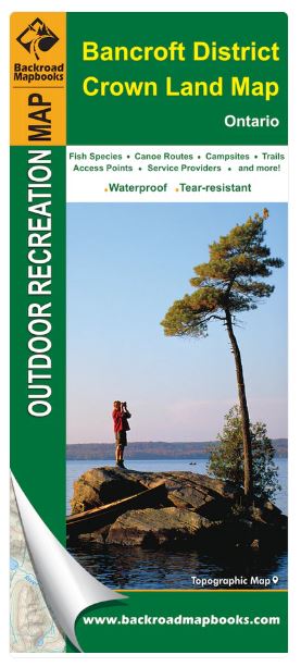
Bancroft District Crown Land Map Ontario | Backroad Mapbooks
Regular price
$10.95
Sale
This recreation and Crown Land topographic map for the Bancroft District in Ontario highlights all the fishing lakes and rivers, hiking and cycling trails, winter trails for cross-country skiing and snowshoeing, ATV and snowmobile routes, provincial parks, campgrounds, backcountry campsites, paddling routes for canoers and kayakers, wildlife viewing areas and more.
This map bundle includes two maps at 1:155,000 scale, covering 27,675 km2 (10,685 mi2). No other map provides you with this much recreational and topographic detail for the Bancroft district. A joint effort with the Ministry of Natural Resources, special features on this map include clearly marked Crown land areas and concession numbers, marked fish species on lakes and rivers, Wildlife Management Units (WMUs) for hunters, outdoor adventure activity summaries, safety tips, important numbers and more.
These maps feature our industry-leading topographic relief and shading and cover the areas around Apsley, Bancroft, Bobcaygeon, Bon Echo Provincial Park, Bracebridge, Calabogie, Carlton Place, Coe Hill, Gravenhurst, Griffith, Haliburton, Huntsville, Kaladar, Kawartha Highlands Provincial Park, Kinmount, Lake St Peter, Minden, Perth, Queen Elizabeth II Wildlands Provincial Park, Whitney and more!