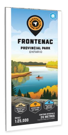
Released: 2022
UPC: 6-22098-11196-5
Pages: 1
Paper: Waterproof
Dimensions: 61 x 94 cm (24 x 37 inches)
Maps: 1:25,000
Digital Format Available: Yes, see the Digital tab for details.
Map Features: Highways, Logging Roads, Land & Water Features, Parks, Adventure Points of Interest, Campgrounds, Hiking Trails, Motorized Trails, Paddling Routes, Hunting & Fishing Areas, Winter Recreation and More.
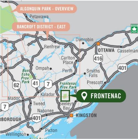
Areas Covered: Frontenac Provincial Park, Bedford Mills, Raymonds Corners, Sydenham, Big Clear Lake, Big Salmon Lake, Birch Lake, Buck Lake, Canoe Lake, Cedar Lake Loop, Devil Lake, North Otter Lake, Slide Lake, Eastern Ontario, Canada