1
/
of
1
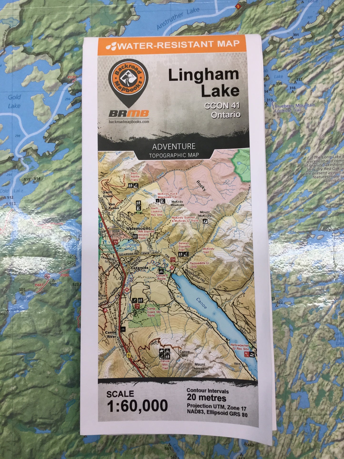
Lingham Lake Adventure Topographic Map | CCON41 | Backroad Mapbooks
Lingham Lake Adventure Topographic Map | CCON41 | Backroad Mapbooks
Regular price
$14.95 CAD
Regular price
Sale price
$14.95 CAD
Unit price
/
per
Shipping calculated at checkout.
Released: 2019
Paper: Water-resistant paper
Dimensions: 61 x 94 cm/24 x 37 inches
Map Scale: 1:50,000
Map Features: Highways, Logging Roads, Land & Water Features, Parks, Adventure Points of Interest, Campgrounds, Hiking Trails, Motorized Trails, Paddling Routes, Hunting & Fishing Areas, Winter Recreation and More.
Areas Covered: Lingham Lake, Flinton, Bon Echo Provincial Park, Weslemkoon, Cooper, Gunter
Couldn't load pickup availability